Being the main part of the blog, this page will feature short scientific reviews of general or personal interest, helping to bridge the gap between popular science outreach and formal research.
🌊🌊🌊 Join us for the One Ocean Science Congress in Nice, France from 3rd to 6th June 2025, a Special Event of the 3rd United Nations Conference on the Ocean Endorsed by the United Nations Decade of Ocean Science for Sustainable Development. I will be presenting a poster at stand P193 and co-author of two abstracts.
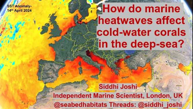
Ocean temperature plays an important role in governing the biophysical environment and in turn the realized ecological niche of benthic organisms and the distribution of marine habitats in the global ocean. As a result of anthropogenic-induced climate change Marine Heat Waves (MHWs) have resulted in widespread coral bleaching and mass mortality of tropical corals. Comparatively little is known about the impact of sub-surface MHWs on cold-water coral communities in the deep-sea, which lack the dependence on symbiotic zooxanthellae of their tropical cousins in surface waters. This study aims to address this deep-ocean knowledge gap utilising numerical modelling.
Previous studies have shown that prolonged and intense sub-surface MHWs and their cumulative intensity results in increasing thermal stress encountered by benthic organisms in depths down to 2000m. This study utilises hydrodynamic modelling outputs of reanalysis data to study impacts of sub-surface MHWs on cold-water corals. With intensification and duration of sub-surface MHWs predicted to rapidly increase in this century, it will increase the thermal stress experienced by cold-water corals and associated communities in the deep-sea.
It is hypothesized that through increased stratification and increased mixed layer depth due to increased storminess and deepening of the thermocline, cold-water coral distribution will be impacted physically (mechanically), however their mortality is more likely to be dependent on food availability and oxygen supply. Preliminary results support this hypothesis in the North Atlantic, indicating that although the cold-water corals may be resilient to thermal stress physiologically, the resulting physically dynamic environment will lead to secondary impacts at the local scale in the benthic boundary layer. Furthermore, oxygen saturation has been found to decrease with increasing temperature and is likely to have a secondary impact on cold-water coral health. This study demonstrates how numerical modelling can provide quantitative spatial and temporal information of biophysical interactions to inform marine habitat mapping studies and species distribution models of habitat suitability.
(Background: This is my research abstract made for the GeoHab 2024 conference – if you would like to learn more, my short oral presentation will be happening on Thursday 9th May 2024 at 1415 in Arendal, Norway. More information about the conference, including how to be a virtual participant, on the official conference website. An interesting program!) See also: https://www.marineheatwaves.org
Sediment dynamics information provide vital insights into the important role of oceanographic forcing factors on habitat distribution; yet remains an under-utilized physical surrogate in marine habitat mapping studies. An integrated oceanographic and geophysical analyses of dynamic processes combining sediment mobility indices, obtained from coupled-hydrodynamic- wave sediment transport models; with seabed classification has been made at Galway Bay, Ireland.
Maerl or rhodolith coralline red algae beds are abundant in Galway Bay and these beds represent more than 65% – 70% of the maerl habitats in Ireland (De Grave and Whitaker, 1999). Maerl beds are particularly affected by hydrodynamics and increased storminess resulting in recurrent disturbance of the benthic habitat patch during winter storms. Live maerl beds are biodiversity rich coastal habitats and form subtidal and intertidal banks and open marine beds. Dead maerl beds of the branched maerl morphotype are considered to be biogenic sediment with form dense biogenic gravel debris beaches.
Sediment mobility modelling is of importance to a range of disciplines including sediment dynamics, marine conservation, coastal engineering, and renewable energy (Harris and Coleman, 1998; Idier et al., 2010; Li et al., 2015, Joshi et al, 2017a, Coughlan et al. 2021). It is based on the fundamental quantity of bed shear stress and the impact of pure currents, wave-only, wave-induced currents or combined wave-current flow on surficial sediments.
Multibeam backscatter from the INFOMAR national seabed mapping program of Ireland have been utilized for seabed classification using the new machine learning and deep learning libraries in ArcGIS Pro and Python.
An integrated interpretation of the dynamic processes happening at the seafloor is made as a result of the combined wave-current induced disturbance regime during storm conditions. Implications for future conservation management of maerl beds impacted by increased storminess and anthropogenic activity are discussed.
References
Coughlan, M., Guerrini, M., Creane, S., O’Shea, M., Ward, S.L., Van Landeghem, K.J.J., Murphy, J., Doherty, P., 2021. A new seabed mobility index for the Irish Sea: Modelling seabed shear stress and classifying sediment mobilisation to help predict erosion, deposition, and sediment distribution. Continental Shelf Research 229, 104574.
De Grave, S., Whitaker, A., 1999. A census of maerl beds in Irish waters. Aquatic Conservation: Marine and Freshwater Ecosystems 9,303-311.
Harris, P.T., Coleman, R., 1998. Estimating global shelf sediment mobility due to swell waves. Marine Geology 150, 171177.
Idier, D., Romieu, E., Pedreros, R., Oliveros, C., 2010. A simple method to analyse non-cohesive sediment mobility in coastal environment. Continental. Shelf Research. 30, 365–377.
Joshi, S., Duffy, G.P., Brown, C., 2017a. Mobility of maerl-siliciclastic mixtures: Impact of waves, currents and storm events. Estuarine, Coastal and Shelf Science 189, 173–188.
Li, M.Z., Hannah, C.G., Perrie, W.A., Tang, C.C.L., Prescott, R.H., Greenberg, D.A., 2015. Modelling seabed shear stress, sediment mobility, and sediment transport in the Bay of Fundy. Canadian Journal of Earth Science. 52, 757–775.
Cite as:
Joshi, Siddhi. (2022). Integrating sediment dynamics into habitat mapping approaches using sediment mobility indices and seabed classification in Galway Bay, Ireland. GeoHab 2022, Venice. https://lnkd.in/e9vHBu8v
StoryMap:
A StoryMap of this research can be found at the link
The second edition of Seafloor Geomorphology as Benthic Habitat, edited by Peter Harris and Elaine Baker has been published at the end of last year and I was pleased to get my copy of the paperback version just a few weeks ago! The book is a “GeoHab Atlas of Seafloor Geomorphic Features and Benthic Habitats,” (GeoHab International Habitat Mapping community).
Seafloor Geomorphology as Benthic Habitat: GeoHab Atlas of Seafloor Geomorphic Features and Benthic Habitats, Second Edition, provides an updated synthesis of seabed geomorphology and benthic habitats. This new edition includes new case studies from all geographic areas and habitats that were not included in the previous edition, including the Arctic, Asia, Africa and South America. Using multibeam sonar, the benthic ecology of submarine features, such as fjords, sand banks, coral reefs, seamounts, canyons, mud volcanoes and spreading ridges is revealed in unprecedented detail. This timely release offers new understanding for researchers in Marine Biodiversity, environmental managers, ecologists, and more. (Elsevier.com)
This book, as well as the first edition, contain a balance between different approaches to marine conservation, scientific theory of marine geology and geophysical mapping techniques. It is a joy to flick through the images, learn about different geomorphic features around the world and understand the state of the art approaches to surveying benthic habitats. The major part of the book contains detailed practical case studies as examples of different approaches to seafloor mapping and examination of the seafloor for marine conservation management and scientific purposes. The first edition of the book had been very useful during my PhD, with the opening Part 1 being vital guidance for me as a research student. My coauthor and I were please to be able to contribute a review chapter on the “Physical oceanographic drivers of geomorphology of rhodolith/maerl beds in Galway Bay, Ireland” (Chapter 12 case study by Joshi and Farrell) to this edition! This chapter is one of two case studies from Ireland, which form a part of the major “Case Study” portion of the book (Part 2). A synthesis chapter serves to be a useful benchmark, together with a summary of outputs of a questionnaire for authors (Part 3). A vital edition to all academic marine science libraries and for government scientists and marine biology and geological oceanography students.
At the end of last month, the International Rhodolith Workshop took place in Roscoff, Brittany, France and around 50-60 international scientists came from the far reaches to present their work on maerl or rhodoliths. In the geology session, had the brilliant opportunity to present some of our work on the habitat dynamics and the impact of storminess on maerl:
We went on a boat trip in the Bay of Brest and sampled some of the maerl from an unfished and a fished site. Here are some photos of our trip to collect some specimens from the Bay of Brest.
This slideshow requires JavaScript.
Acknowledgements
This trip was funded by the Marine Insitute Travel and Networking Award, Ireland and we would like to thank the organisers of the conference and the Marine Institute for making this trip possible!
Figure 1. A. Biogenic gravel composed entirely of dead maёrl (debris) at Trá an Doilin (Carraroe) beach, County Galway. B. Individual clasts of maёrl debris on beach (photo length: 0.05m). C. Living maёrl beds in approximately 5m bathymetry (photo length: c.0.60m). D & E. Concentric patterns at Trá an Doilin suggests maёrl has a higher mobility than quartz sediments.
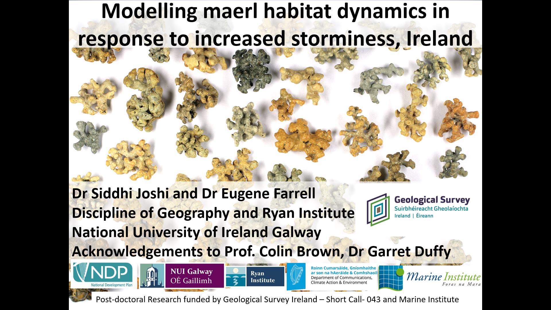
An exciting new project involving field work has begun at NUI Galway School of Geography, which focuses on quantifying the impacts of storminess on maerl beach morphodynamics. Rhodolith (maerl) beds are unique, relatively rare, free-living, non-geniculate coralline red algae forming biodiverse habitats and dense biogenic debris beaches. These beds provide hard habitat for other marine algae on their surface and for invertebrates living on and in the rhodoliths. This one year field research project investigates the response of offshore maerl beds and maerl debris beaches to storminess. Specifically, the morpho-sedimentary evolution of maerl beaches over timescales of seconds (swash dynamics) to months (seasonal weather) will be measured using a suite of integrated, multi-disciplinary field and laboratory methods based on hydrodynamic modelling, bathymetric and topographic mapping, and groundwater fluxes. The experiments will utilise results from previous research. The impact of the Intergovernmental Panel on Climate Change (IPCC) scenarios on the regional hydrodynamic model will be made to quantify possible impacts of climate change on maerl. Using XBeach, an open-source numerical model with a domain size of kilometres, on the time scales of storms, outputs will be compared with nearshore-beach DEMs derived from UAV surveys (water and land), and supplemented with baseline INFOMAR LiDAR data from Greatman’s Bay. This project will integrate oceanographic observations (waves, currents, tide) to compliment habitat mapping. A poster of this work was presented at the Irish Geomorphology Group Meeting at the Geological Survey Ireland in Dublin. The poster is available for download here: Siddhi Joshi Eugene Farrell Poster Final
Acknowledgements
This project is funded by the Geological Survey Ireland Short call 2017-SC-043.


 The poster is available for download here: