
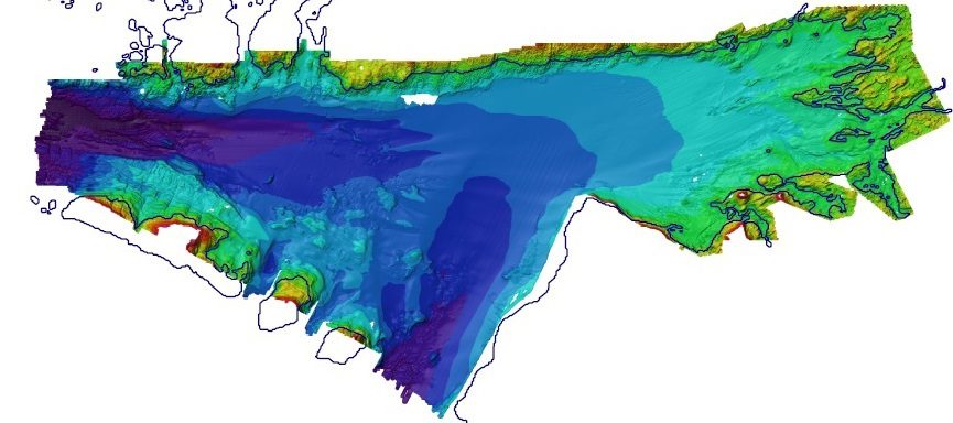
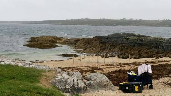
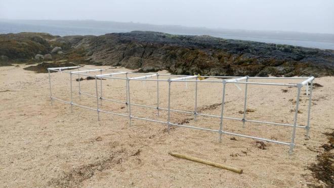
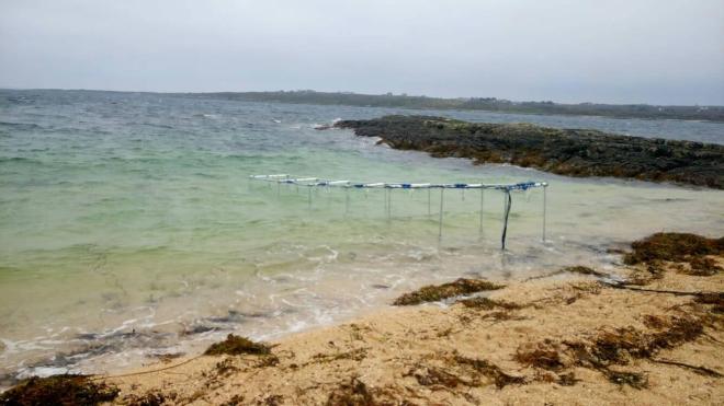
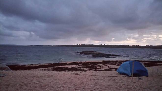
A high resolution beach morphodynamics experiment and monitoring of the intra-wave sediment transport took place last week at Carraroe’s maerl beach in County Galway. A large frame with seven distance sensors mounted facing downwards, was used. These data, together with GPS and offshore wave measurements using the AWAC instrument, as well as drone imagery, are being used to construct high resolution Digital Elevation Models (DEMs) and as part of a beach morphodynamics process model (using XBeach). Here are some photos of the experiment, which forms part of the Geological Survey Ireland Short Call 2017 project.
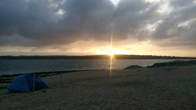
Sunset at Carraroe Trá an Doilín Beach
Acknowledgements
This field work is funded by and forms part of the Geological Survey Ireland Short call 2017 project no. 43 (PI: Siddhi Joshi).
well done team, good job keep it up