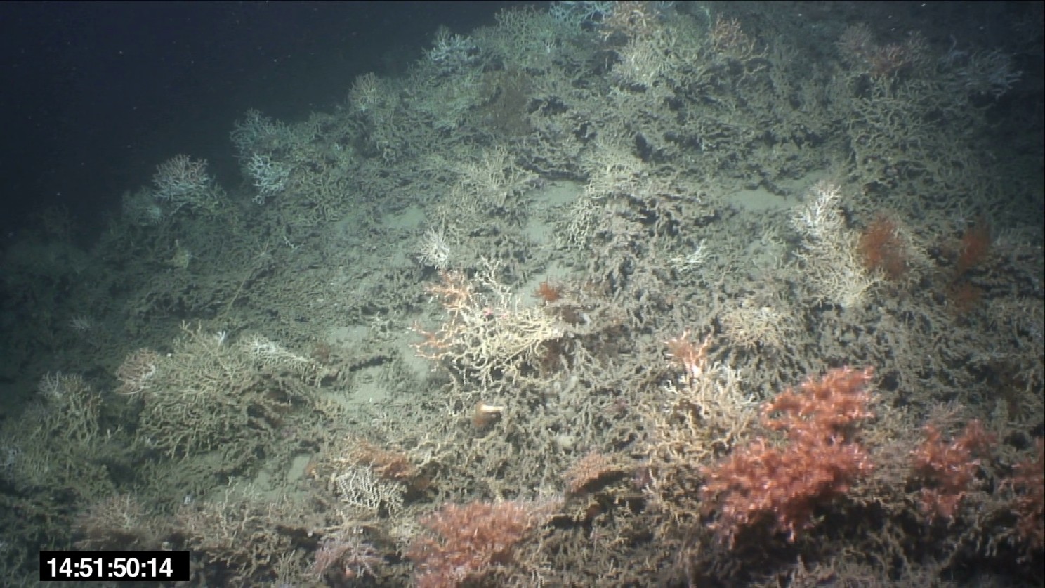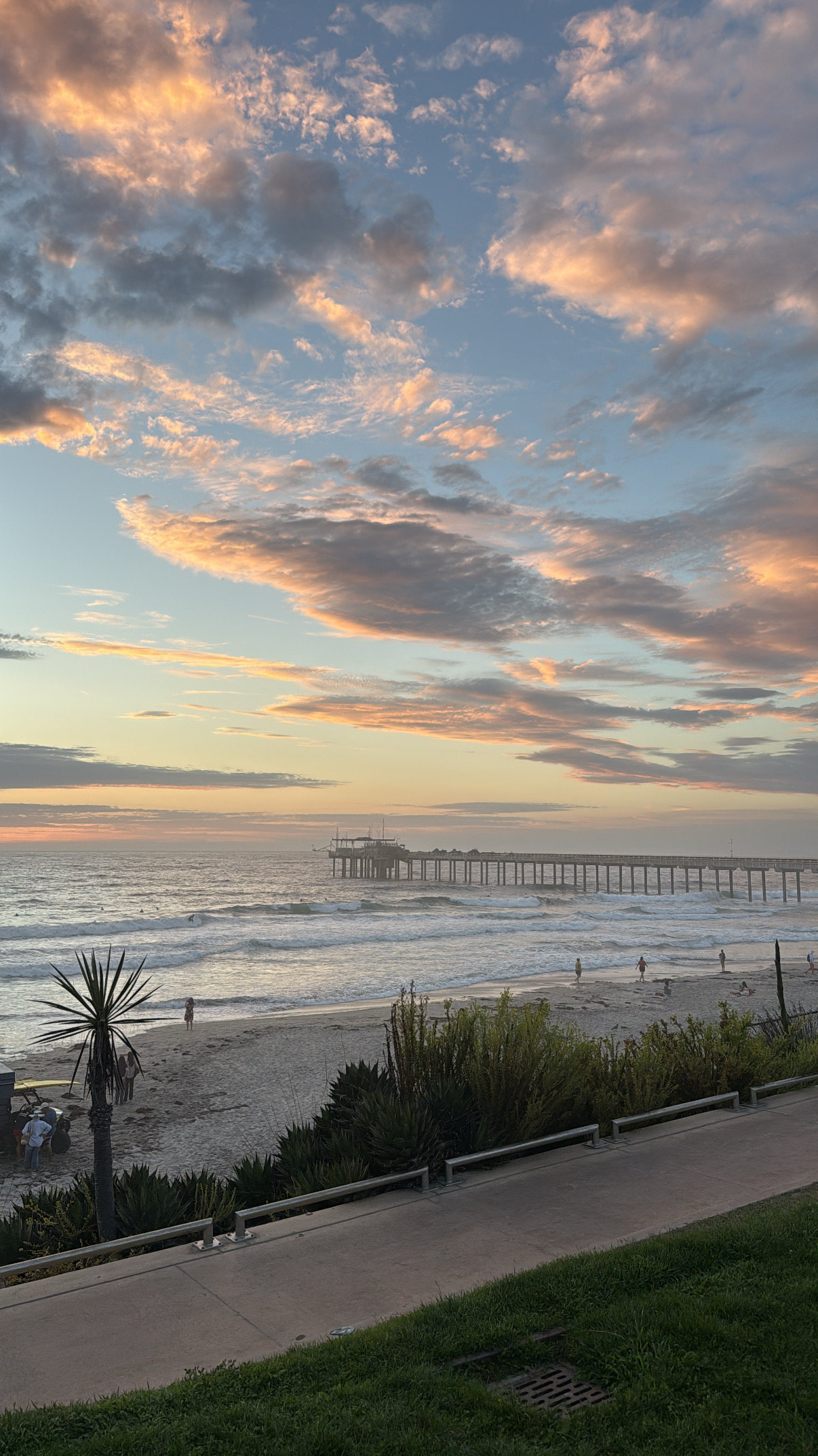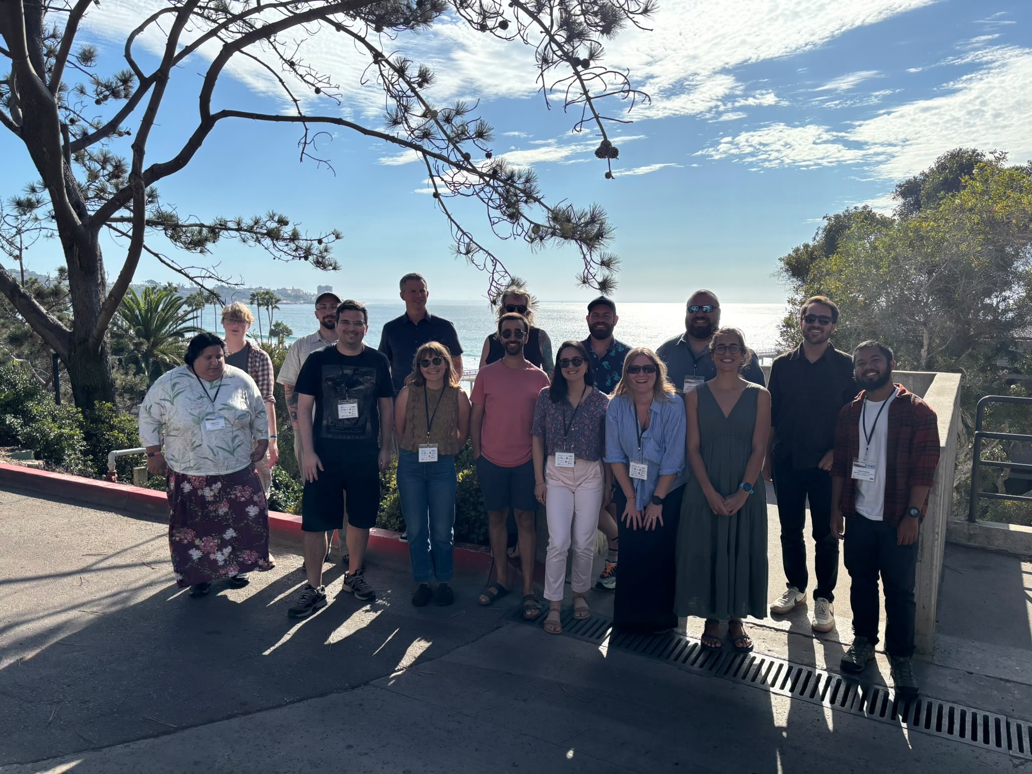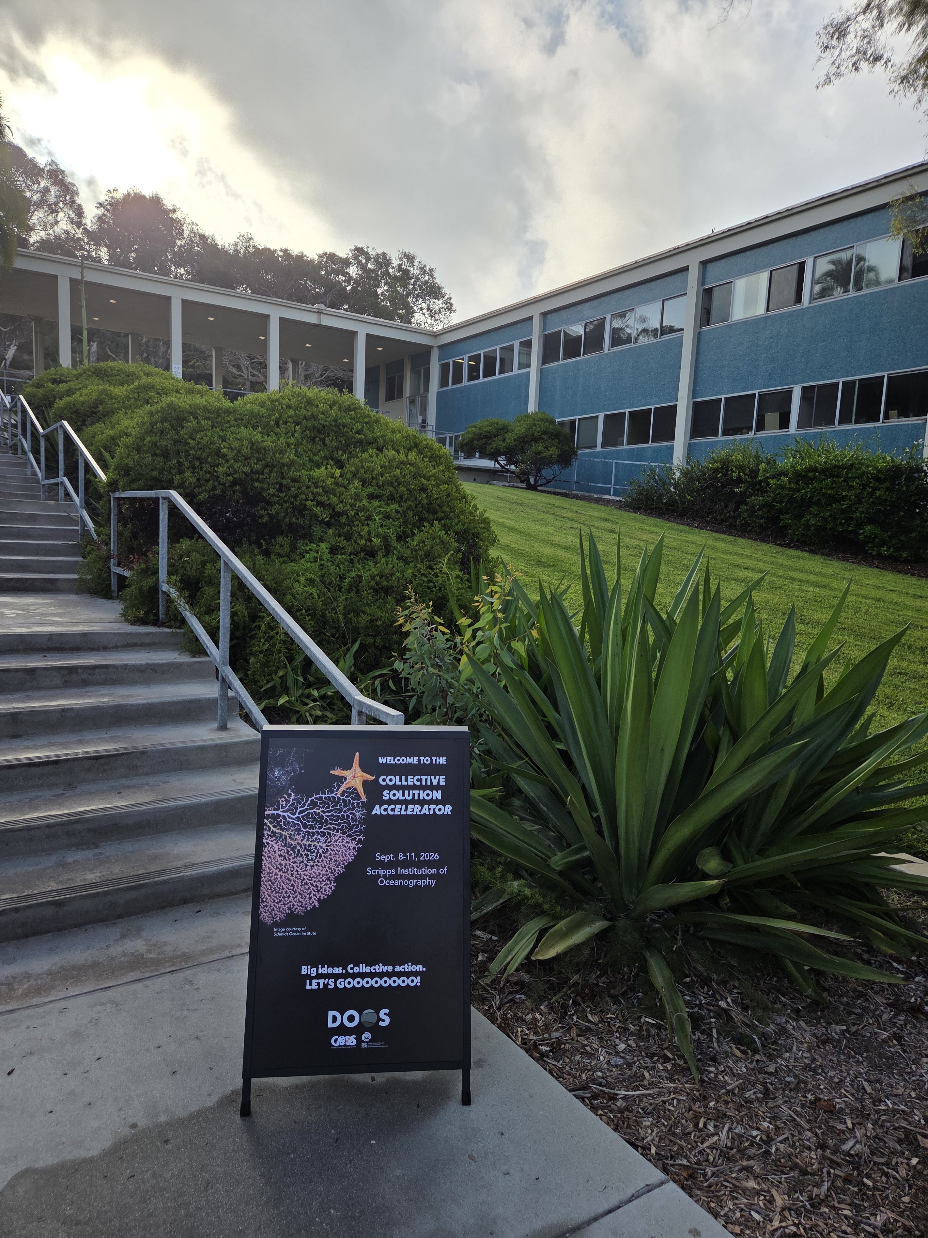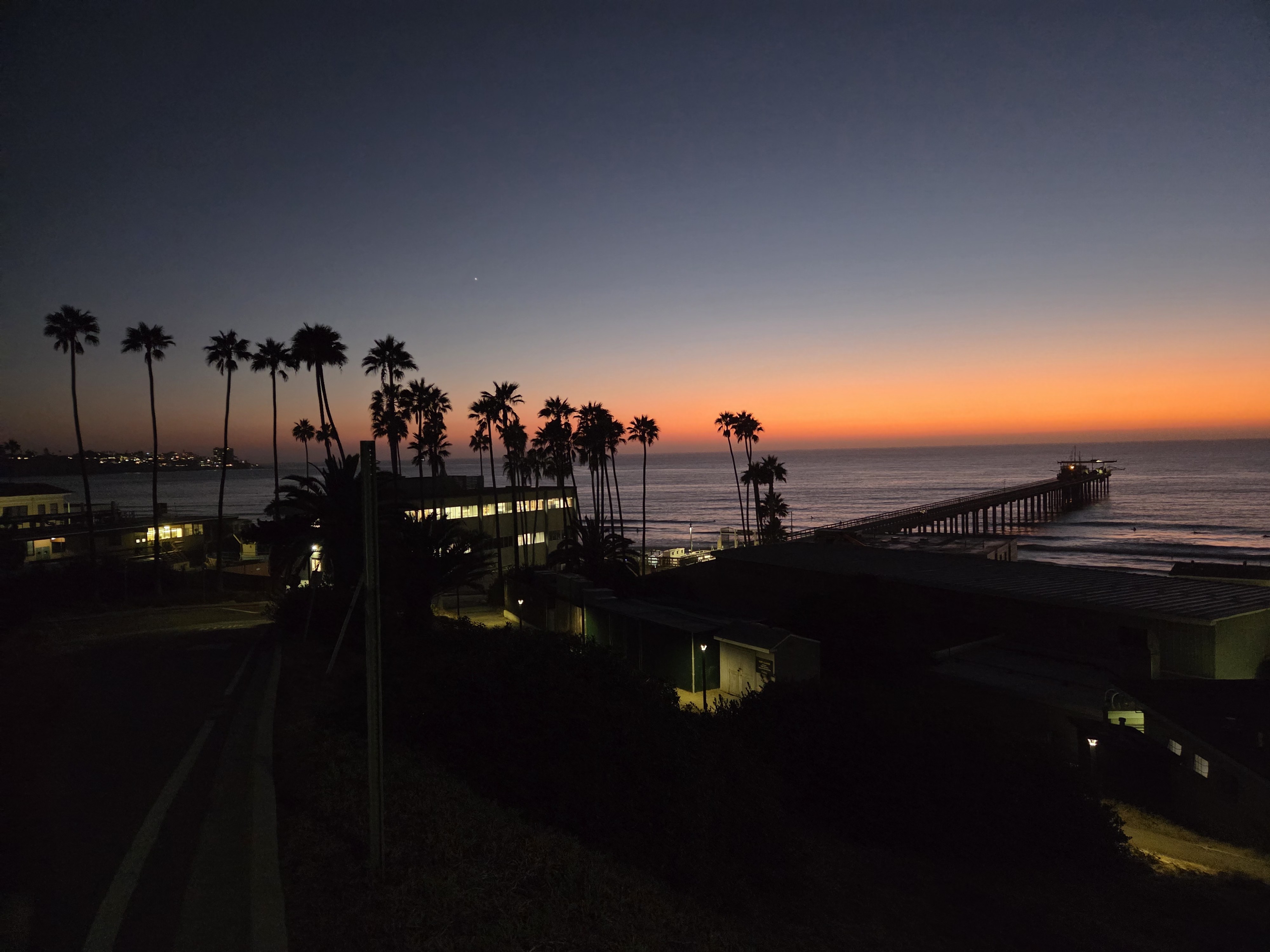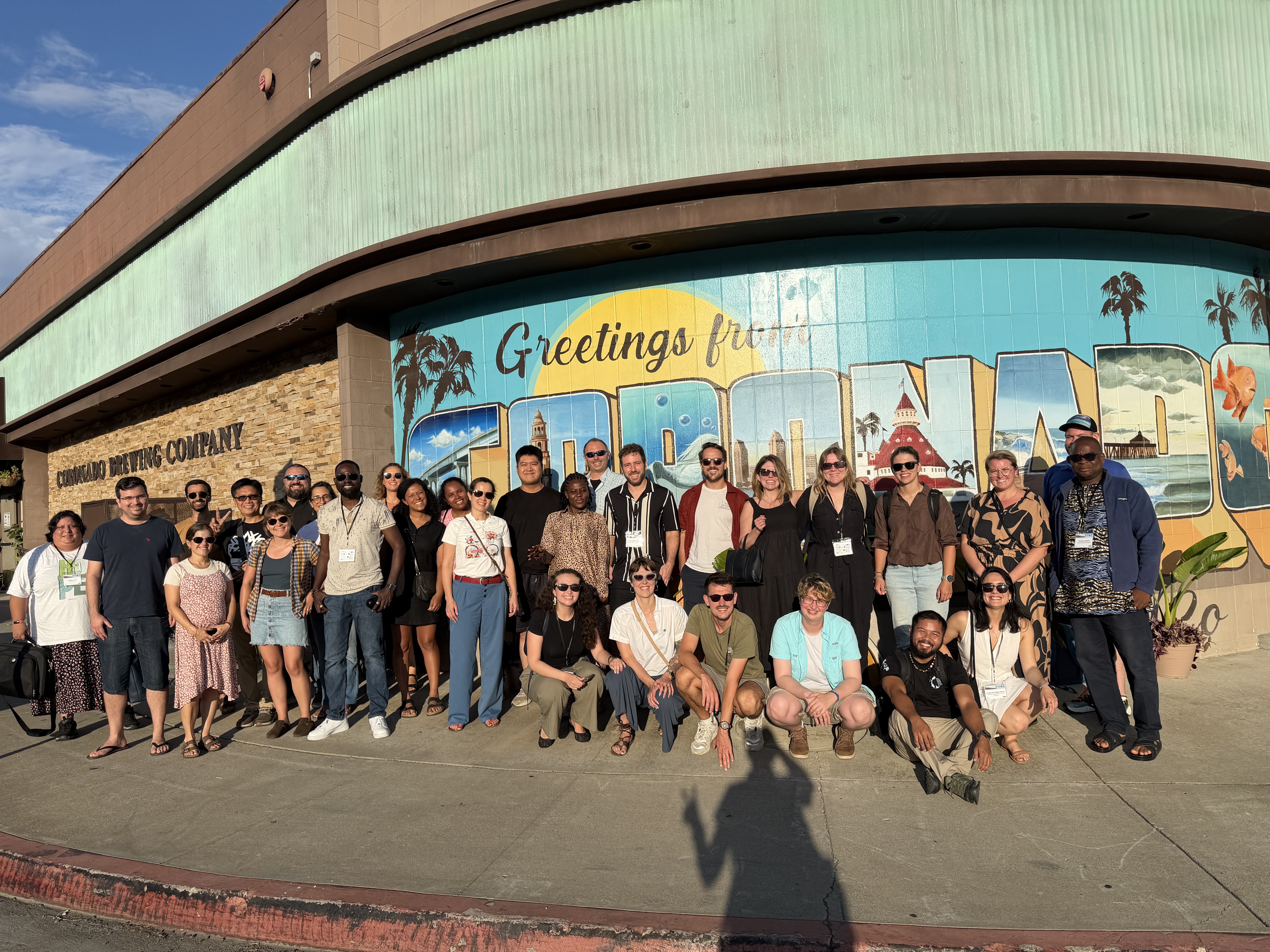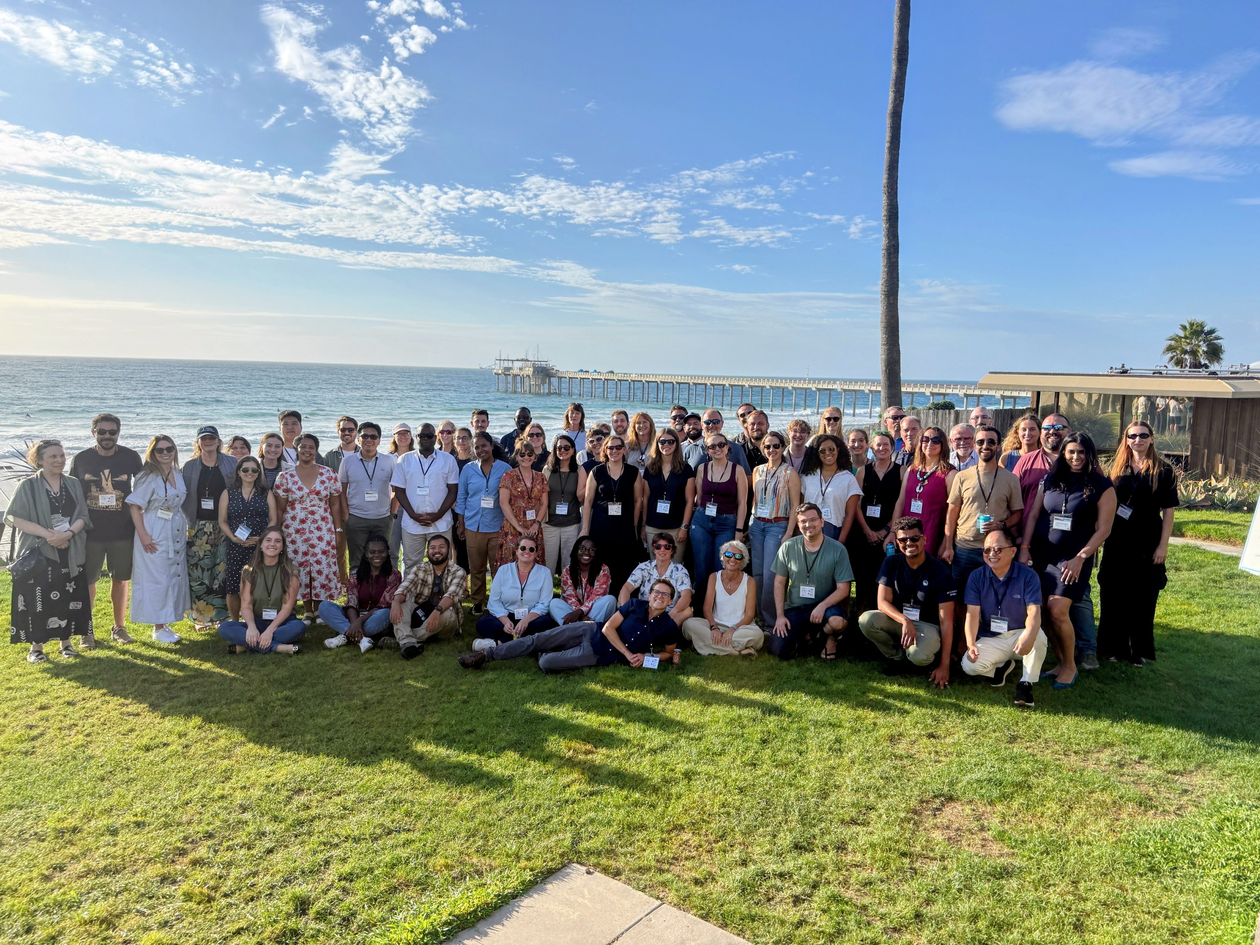
Last month (September) scientists from around the world, including early-career scientists met at the Scripps Institution of Oceanography in La Jolla CA to discuss and collectively work on a problem related to the deep ocean. In our case, this was benthic habitat classification using video imagery and coming up with a robust standardised pipeline for processing of visual imagery of the deep ocean, acquired by video acquisition systems on ships, ROVs and AUVs. The benthic classification workshop showcased two key tools- the ESRI full-motion video tool within ArcGIS Pro and the Deep-framex frame extraction libraries for deep sea video (open source tool) run with Python. Both tools have their merits and depending on the metadata available during the survey, can be used as a part of the video pre-processing and analyses pipeline. The Deep Ocean Collective Solutions Accelerator was the second in a series of three accelerator workshops held every three years by the Deep Ocean Observing Strategy (DOOS). A big thank you to Leslie, Amelia and Katie (and others on the team) for organising our cohort and workshops. Overall, the collective solutions accelerator was a tremendous opportunity to work together over the course of 6 months and then intensively during the week on the same problem and aim to get to an achievable solution. In our workshop, we achieved three of the four major goals and through the work of the DOOS Marine Habitat Mapping working group, will continue to work on the goal of identifying a limitations map as the final goal.